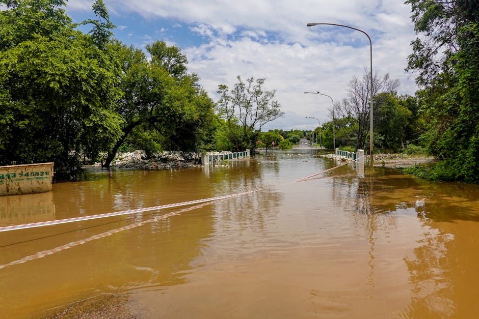
A Flood of Biblical Proportions
In the spring of 1826, the Red River Settlement — a fragile but determined community in what is now Manitoba — was nearly wiped off the map. The floodwaters that tore through the region that year weren't just bad luck. According to historians, they represent the largest flood in the recorded history of the Red River watershed, a catastrophe so immense it has been called a "once-in-a-millennium" event.
For the settlers and Indigenous peoples living along the Red River at the time, the disaster was immediate and total. Homes, crops, livestock, and livelihoods vanished under a vast inland sea. One contemporary account described it plainly as the "wreck of a whole colony."
What Caused the Great Flood of 1826?
The Red River Valley is no stranger to flooding — the flat, low-lying terrain that stretches from North Dakota up through Manitoba has always been vulnerable to spring runoff. But 1826 was a perfect storm of conditions: an especially heavy winter snowpack combined with a rapid spring thaw and ice jams downstream created a surge of water with nowhere to go.
The Red River Settlement, established just over a decade earlier by Lord Selkirk in 1812, had already endured years of hardship — conflict, grasshopper plagues, and harsh winters. The 1826 flood was a blow the young colony barely survived.
Residents fled north to higher ground, some travelling dozens of kilometres on foot or by canoe. When the waters finally receded months later, they returned to find little left standing.
A 'Once-in-a-Millennium' Benchmark
Modern researchers have used sediment records, tree ring data, and historical accounts to reconstruct just how extreme the 1826 flood was. What they found is striking: the peak water levels that year far exceeded anything seen in the centuries before or since — including the devastating floods of 1950 and 1997 that are more familiar to living Manitobans.
That makes 1826 not just a historical footnote, but a crucial benchmark for understanding flood risk in the region. As climate change increases the frequency and severity of extreme weather events across Canada, understanding the upper limits of what the Red River can do takes on new urgency.
Why This History Still Matters
Manitoba has invested heavily in flood infrastructure since 1950 — most notably the Red River Floodway, a massive diversion channel around Winnipeg that has protected the city from repeated flooding. But the 1826 event suggests that even modern flood defences may face challenges they weren't fully designed to handle.
For historians, the flood is also a reminder of the resilience — and the vulnerability — of early settler communities in the Canadian West. The Red River Settlement eventually rebuilt and grew into what became the province of Manitoba in 1870.
Two centuries later, the memory of 1826 lives on in sediment cores, in the oral histories of communities along the river, and in the ongoing work of scientists trying to understand just how extreme Canadian weather can get.
Source: CBC News. Read the full story at cbc.ca.