A Beloved Trail Goes Dark
One of the Northwest Territories' most treasured outdoor destinations has been shut down indefinitely after territorial officials determined that soil erosion has created what they're calling a "serious risk" to anyone who sets foot on the path.
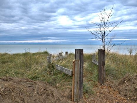
The riverside trail — celebrated for its dramatic waterfall views — has drawn hikers and nature lovers for generations. But the ground beneath it is no longer safe, and the territorial government has made the difficult call to close it to the public while they figure out what comes next.
What's Happening to the Trail
Soil erosion is a slow, often invisible force — until it isn't. In this case, the damage has become substantial enough that the N.W.T. government felt it had no choice but to act. The erosion has compromised the integrity of the trail surface and the land around it, making the risk of collapse or injury too great to ignore.
Officials haven't yet put a timeline on repairs or a potential reopening. Given the remote nature of much of the N.W.T.'s trail network and the logistical challenges of working in northern terrain, restoration projects like this can take years — and in some cases, the original path may need to be rerouted entirely.
A Bigger Story About Canada's Wilderness
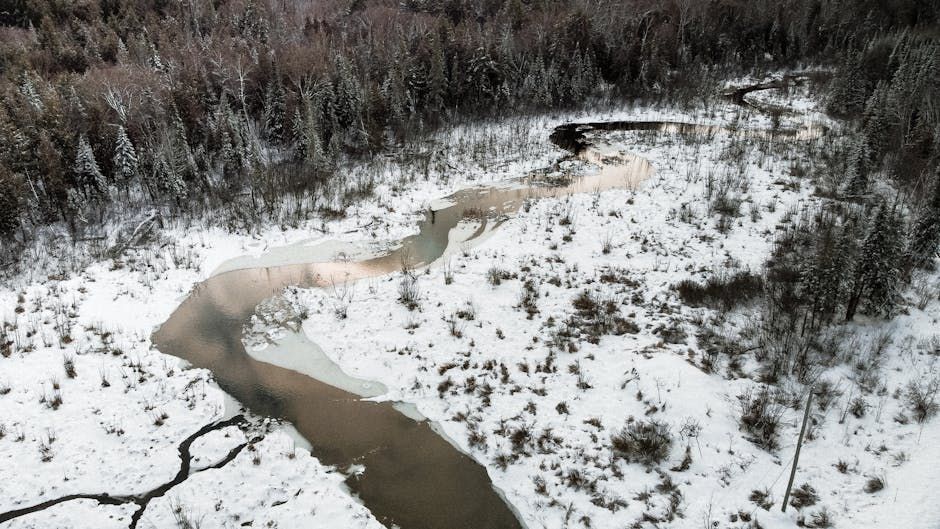
This closure isn't just a local inconvenience — it's part of a larger pattern playing out across Canada's north. Climate change is accelerating soil instability in subarctic and boreal regions, where permafrost thaw, increased rainfall intensity, and shifting freeze-thaw cycles are all taking a toll on the landscape.
Trails, riverbanks, and shorelines that have been stable for decades are now showing signs of stress. Land managers across the country are grappling with how to maintain access to wilderness areas while keeping the public safe — and without the infrastructure budgets to match the scale of the problem.
In Yukon, similar erosion issues have forced closures along popular routes near Whitehorse. In northern Ontario, provincial parks have had to reroute trails around newly unstable slopes. The N.W.T. situation is a continuation of that trend.
What This Means for Visitors
For anyone who had plans to visit the trail this season, the message is simple: check before you go. The N.W.T. government is advising visitors to stay away from the area and to follow any posted signage around the closure zone.
For travellers planning a northern adventure, it's worth building flexibility into itineraries. The N.W.T. has no shortage of breathtaking natural destinations — from Nahanni National Park Reserve to the shores of Great Slave Lake — but conditions in remote areas can change quickly, and closures do happen.
Looking Ahead
The territorial government says it will continue to monitor the site and assess what kind of remediation work might be possible. Whether that means shoring up the existing trail, building a new one, or simply letting the landscape reclaim the land remains to be seen.
For now, one of the north's most iconic views is off-limits — a reminder that even the wildest places aren't immune to the pressures reshaping Canada's natural environment.
Source: CBC News Top Stories