A Civil Engineering Student With a Very Cool Side Project
Most first-year university students are busy surviving midterms and learning their way around campus. Jonathan Silverman, a civil engineering student at the University of Waterloo, decided to do something a little more ambitious — he built a map of Ontario's weirdest highway quirks, and the internet is absolutely here for it.
Silverman's project, called Ontario Oddities (also going by the charming name Jonathan's Junction), is an interactive map that catalogs the strange, forgotten, and downright baffling features scattered across Ontario's road network.
What Kind of Oddities Are We Talking About?
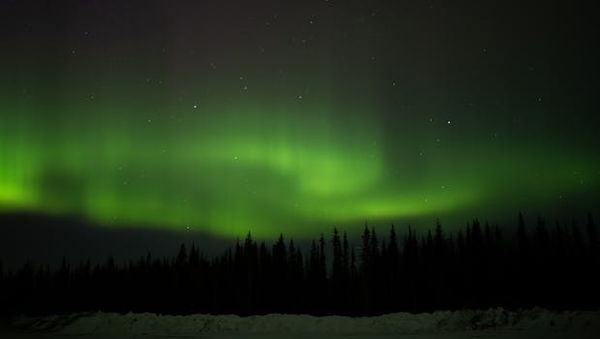
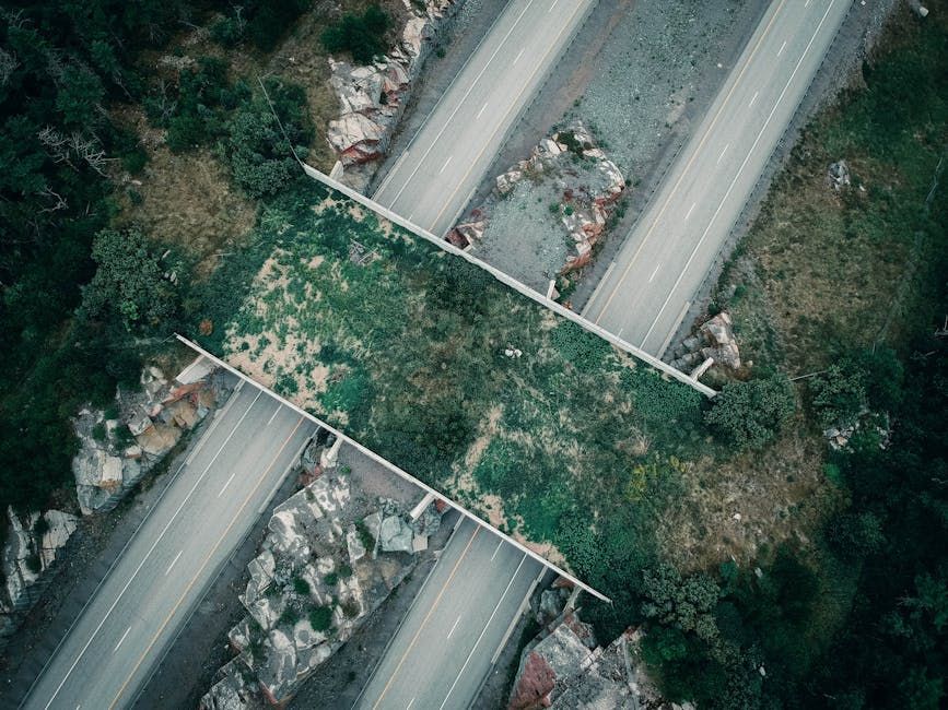
The map highlights a surprisingly diverse range of highway weirdness. We're talking about road signs that are just plain wrong, abandoned bridges that once carried traffic over rivers and valleys, stretches of roadway that were decommissioned and left to nature — and perhaps most hauntingly, highways that are now submerged underwater.
Yes, submerged highways. Ontario has them. And now you can find them on a map.
The project taps into something genuinely fascinating about infrastructure: the road network we drive every day has layers of history buried beneath it. Highways get rerouted, bridges get condemned, whole corridors get swallowed by reservoirs when dams are built. Most drivers zoom past these remnants without ever knowing they're there.
Why a Civil Engineering Student Is the Perfect Person for This
There's a certain poetic logic to a civil engineering student building this. The discipline is all about understanding how built environments are designed, constructed, and — crucially — what happens when they're left behind. Silverman's map reads like a field notes document for anyone who's ever slowed down on a highway to wonder, "wait, what's that old bridge doing there?"
It's also a reminder that Ontario's highway network, vast as it is, wasn't built in a straight line. Decades of construction, political decisions, budget cuts, and changing traffic patterns have left behind a surprisingly rich archaeological record — if you know where to look.
Ontario's Roads Have Plenty of Stories to Tell
For drivers in eastern Ontario and the Ottawa region, the highway network is intimately familiar — the 417 cutting through the city core, the 416 running south toward the 401, the older routes that predate modern freeway design entirely. It's easy to take these corridors for granted. Projects like Ontario Oddities are a good nudge to look a little closer.
Road geeks, history buffs, and anyone planning a summer road trip through Ontario now have a genuinely useful (and entertaining) resource to add to their toolkit.
How to Find It
Silverman's map is available online — a search for "Ontario Oddities map" or "Jonathan's Junction" should get you there. Whether you're plotting a weekend drive or just curious about what's lurking beneath that lake you passed on the 401, it's worth a browse.
Not bad for a first-year student.
Source: CBC News Kitchener-Waterloo