A Century-Old Wreck, Reimagined
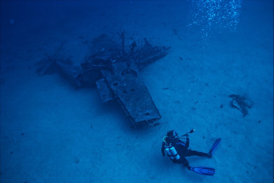
More than 80 years after it sank to the bottom of the Labrador Sea, the Terra Nova, the storied vessel that carried British explorer Robert Falcon Scott on his ill-fated journey to the South Pole, is being seen in stunning new detail. An Ontario company has developed the technology now being used to map the entire wreck in three dimensions, part of an expedition led by the Royal Canadian Geographical Society.
From Polar Legend to Ocean Floor
The Terra Nova is one of the most famous ships in the history of polar exploration. It carried Scott's expedition to Antarctica in the early 1900s, a journey that ended in tragedy when Scott and his companions died on their return trek from the pole after finding they had been beaten there by Norwegian explorer Roald Amundsen. The ship itself went on to a working life hauling supplies before eventually sinking off the coast of Greenland in 1943.
For decades, the wreck sat largely unexamined, resting in the cold, dark waters of the Labrador Sea. Now, thanks to advances in underwater imaging technology, researchers are getting their most detailed look yet at what remains of the historic vessel.
Ontario Innovation Powers the Expedition
The 3D mapping technology being used to document the wreck was developed by a company based in Ontario, giving this international expedition a distinctly Canadian technological backbone. The tools allow researchers to build a complete, navigable digital model of the ship as it sits on the ocean floor, something that would have been unimaginable to earlier generations of maritime historians who relied on grainy photographs and rough sketches.
This kind of high-resolution underwater mapping is increasingly being used across the shipping, marine research, and historical preservation sectors, and Canadian firms have carved out a reputation as leaders in the space. The Terra Nova project is a high-profile showcase for that expertise, drawing attention from maritime historians and technology watchers alike.
Why This Expedition Matters
The Royal Canadian Geographical Society's involvement underscores the significance of the find for Canadian and international audiences alike. Beyond the technical achievement, the project offers a rare opportunity to preserve a piece of exploration history digitally, ensuring that even as the physical wreck continues to deteriorate under the sea, a detailed record of it will endure.
Researchers say the 3D model will allow historians, students, and the public to explore the ship's remains in ways never before possible, without the cost or risk of a physical dive. It's a striking example of how modern technology, developed right here in Canada, is helping the world reconnect with stories from the golden age of polar exploration.
Source: CBC News