Ottawa Flood Risk Portal Delay Leaves Residents Without Critical Information
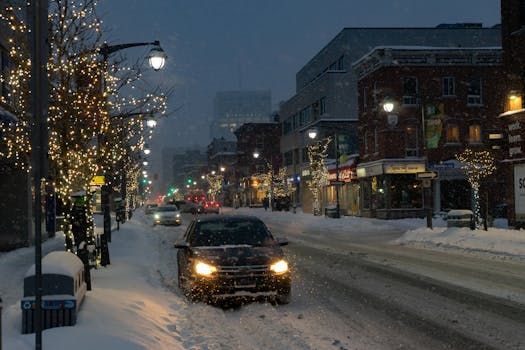
Ottawa residents living near the Ottawa River, Rideau River, or low-lying neighbourhoods like Constance Bay and Cumberland know all too well that flooding is not a hypothetical threat — it's a recurring reality. So news that a federally promised flood risk portal still doesn't work, and may not properly account for climate change when it finally does, is hitting close to home.
A new report from the Office of the Auditor General of Canada reveals that the federal government has missed its own deadline for launching a national flood risk portal — a tool that was supposed to let Canadians simply enter their home address and learn whether they're at elevated risk for flooding. As of now, that portal is not operational.
What the Auditor General Found
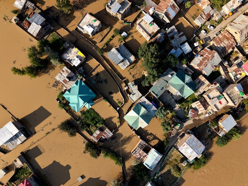
The report paints a troubling picture of federal inaction on flood preparedness. Not only is the portal behind schedule, but when it eventually goes live, it reportedly won't factor in the effects of climate change — a significant omission given that extreme weather events, including heavy rainfall and spring flooding, are becoming more frequent and severe across Canada.
Flood mapping is a technical and expensive undertaking, requiring up-to-date data on waterways, elevation, soil saturation, and precipitation patterns. Critics have long argued that Canada's flood mapping infrastructure is decades out of date, leaving municipalities and homeowners without the information they need to make decisions about where to live, whether to buy flood insurance, or how to advocate for protective infrastructure.
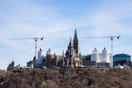
Why This Matters for Ottawa
Ottawa has a well-documented history of flooding. The spring floods of 2017 and 2019 forced hundreds of residents from their homes along the Ottawa River, damaged properties in Rockcliffe, Orléans, and West Carleton, and cost the city and province hundreds of millions of dollars in emergency response and recovery.
Despite this, many Ottawa homeowners still don't have reliable, up-to-date information about their personal flood risk. Without an accurate portal, residents can't make informed decisions about flood insurance — a product that is both increasingly important and increasingly hard to obtain in high-risk areas.
City of Ottawa staff have done some local flood mapping work, and the province has its own programs, but a nationally consistent, address-level tool would be a game-changer for residents, real estate buyers, and local planners alike.
What Happens Next
The federal government has said it remains committed to the flood risk portal, but no firm revised launch date has been given publicly. The Auditor General's findings add pressure on Ottawa (the government, not the city) to move faster and to build a tool that reflects the realities of a changing climate — not just historical flood data.
For residents in flood-prone Ottawa neighbourhoods, the advice for now remains frustratingly low-tech: talk to your city councillor, consult local flood maps where available, and seriously consider flood insurance if you haven't already.
In a city that has seen basements fill and roads wash out in recent memory, getting this right isn't just a policy question — it's a matter of protecting homes and lives.
Source: CBC Ottawa / CBC News. This article is based on reporting by CBC News on the Auditor General's report into Canada's national flood mapping portal.