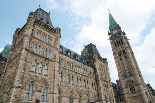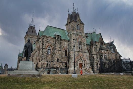
Gatineau Residents Urged to Prepare as Spring Floods Rise
Ottawa-area residents on both sides of the river are keeping a close eye on water levels this spring, as Gatineau's mayor has issued a public caution following updated flood forecasts for the city.
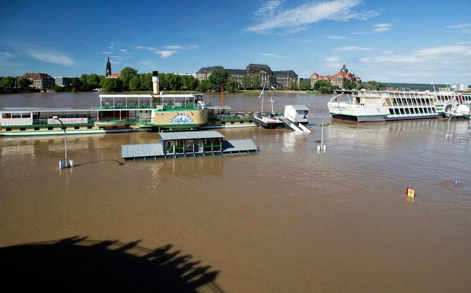
According to the latest projections, water levels in Gatineau are expected to rise higher than what the region saw in 2025 — though forecasters indicate the situation should remain below the more serious flooding experienced in 2023, which displaced dozens of families and caused significant damage to riverside properties.
What the Forecasts Say
The City of Gatineau has been monitoring river conditions closely as warmer temperatures accelerate snowmelt across the region. Spring flooding is a recurring challenge for communities along the Ottawa River and its tributaries, and municipal authorities have been preparing since early March.
While the 2026 forecast sits between two recent benchmarks — worse than last year, better than two years ago — officials are not taking chances. The mayor's message has been clear: residents in flood-prone areas should act now rather than wait to see how conditions develop.
What Residents Should Do
Gatineau officials are encouraging people in low-lying neighbourhoods and near riverbanks to take precautionary steps, including:
- Moving valuables, vehicles, and equipment to higher ground
- Checking flood zone maps on the city's website to understand their risk level
- Signing up for municipal emergency alerts
- Reviewing home insurance policies for flood coverage
- Keeping sandbags and water barriers accessible if needed
For Ottawa residents with property or family connections across the river, or those living near the Ottawa River's Ontario shoreline, the same caution applies. Areas like Constance Bay, Cumberland, and Rockland have historically been vulnerable during spring flood events.
A Recurring Spring Concern
Flooding along the Ottawa River corridor has become an annual concern for communities in both Ontario and Quebec. The 2019 floods remain the benchmark for worst-case scenarios in recent memory, prompting major investments in flood mapping, early warning systems, and protective infrastructure across the region.
The National Capital Region's geography — sitting at the confluence of the Ottawa, Rideau, and Gatineau rivers — makes spring flooding a structural challenge rather than a rare event. Climate variability has also increased the unpredictability of snowpack and rainfall patterns, making advance preparation more important than ever.
Stay Informed
Residents can monitor real-time water level data through Environment and Climate Change Canada's hydrometric monitoring service. The City of Gatineau and the Ottawa River Regulation Planning Board also publish regular updates during flood season.
If you're in a flood-prone area on either side of the river, now is the time to prepare — not after the water starts rising.
Source: Ottawa Citizen