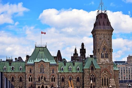
Ottawa is catching a short break from the rain Monday after Environment Canada lifted an active rainfall warning for the region — but don't put away the umbrella just yet, because another wet system is already on the horizon for Tuesday.
The warning, which had been in effect for the Ottawa area, was cancelled Monday after the region saw significant rainfall over the past day. However, meteorologists are tracking an additional band of precipitation expected to move through the capital on Tuesday, meaning residents should plan accordingly for another damp commute.
What the Forecast Looks Like
While the worst of Monday's rain appears to have passed, forecasters with Environment Canada are watching a new weather system moving in from the west. Ottawa typically sits in a corridor that funnels moisture-laden air northeastward during spring, making multi-day rain events fairly common this time of year.
Tuesday's expected rainfall isn't anticipated to reach warning levels — at least not based on early projections — but accumulations could still be enough to cause localized pooling on roads and paths, particularly in lower-lying areas of the city.
Spring Showers and What They Mean for Ottawa
Spring rain in Ottawa is a double-edged sword. On one hand, the moisture helps green up Gatineau Park, the Rideau Valley trails, and city parks that are just shaking off the last of winter. On the other hand, the combination of saturated ground from snowmelt and heavy rainfall can push the Rideau River and other waterways toward higher-than-normal levels.
Ottawa residents living near the river or in flood-prone neighbourhoods like Constance Bay should keep an eye on updates from the City of Ottawa and the Ottawa River Regulation Planning Board throughout the week.
Getting Around in the Rain
For commuters, a few things are worth keeping in mind:
- OC Transpo riders can check real-time alerts on the OC Transpo app or website for any weather-related service disruptions.
- Cyclists using the Capital Pathway should be cautious of wet surfaces, particularly on bridges and underpasses where water tends to collect.
- Drivers are reminded that Ottawa bylaws prohibit parking in designated snow and flood zones during weather events — check signage in your area.
The NCC's recreational pathways along the Ottawa River and Rideau Canal may also see temporary closures if conditions deteriorate, so check before heading out for a run or walk.
Looking Ahead
The broader spring outlook for Ottawa has trended wetter than average, which aligns with La Niña patterns that have influenced Canadian weather this season. After Tuesday's rain, there's a chance conditions could stabilize heading into mid-week, offering a window of drier weather before any additional systems develop.
As always, keep an eye on the Environment Canada weather page for the Ottawa area and sign up for Weatheradio alerts if you live in a flood-prone neighbourhood.
Source: CTV News Ottawa / Google News RSS. Stay safe out there, Ottawa.