Ottawa River Running High This Spring
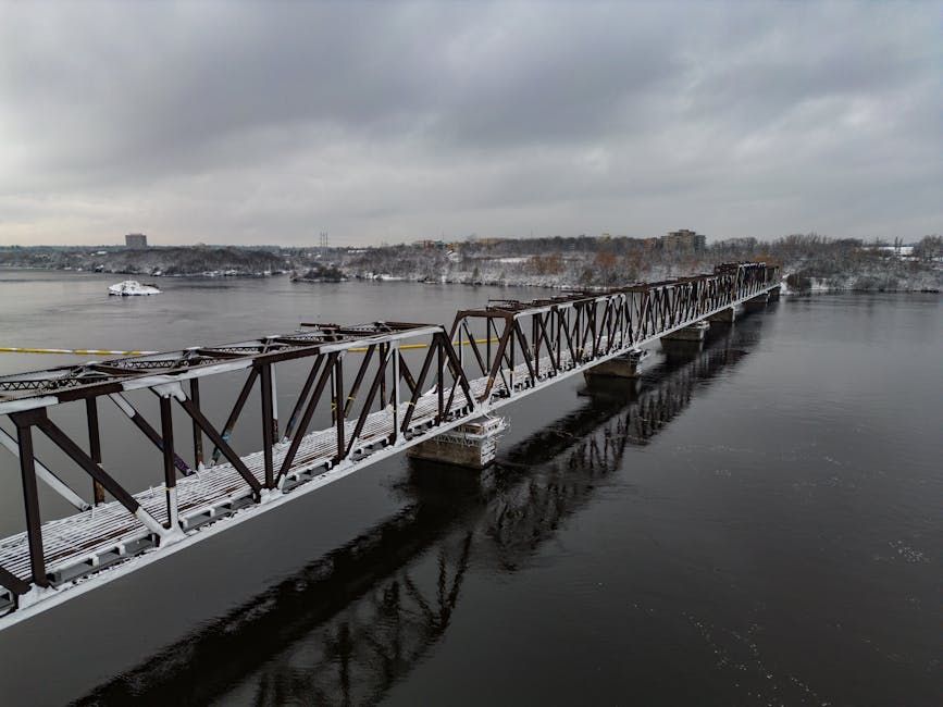
Ottawa residents are getting a bird's-eye view of just how high the Ottawa River has risen this season, thanks to striking drone footage released by CBC that reveals the dramatic scope of elevated water levels along the iconic waterway.
The aerial video captures the river in a state that's become an annual source of concern for communities on both the Ontario and Quebec sides — a vivid reminder of just how powerful and unpredictable this stretch of water can be when spring snowmelt and rainfall combine.
A River With a History of Flooding
The Ottawa River has a well-documented history of spring flooding, with some of the worst events in recent memory hitting in 2017 and 2019, when thousands of homes in communities like Constance Bay, Gatineau, and Île-Bizard faced significant damage. Those floods prompted new conversations about flood plain mapping, emergency preparedness, and the long-term risks of building near the river's edge.
While conditions this spring haven't yet reached those historic highs, the drone footage serves as an important visual indicator that water levels are worth watching closely. The Ottawa River Regulation Planning Board monitors flows and issues regular updates during high-water season, and residents in flood-prone areas are urged to stay tuned.
What Drives the Rise
Spring water levels on the Ottawa River are driven by a combination of factors: snowpack melting across the vast watershed (which stretches deep into Quebec), rainfall, and the timing of ice breakup upstream. When all three come together quickly, the river can rise faster than anticipated.
The river's watershed covers approximately 146,000 square kilometres — meaning conditions far north of the city can have a real impact on what residents see at local shorelines, parks, and boat launches.
Staying Prepared
For Ottawa homeowners near the river — whether along the Britannia Beach area, Westboro, or further out toward Constance Bay — spring is always a season to monitor closely. The City of Ottawa maintains a flood information page and issues updates through its emergency management office when water levels become a concern.
If you live near the river or a tributary, it's worth checking your sump pump, reviewing your home insurance policy for overland water coverage, and knowing your local flood plain designation.
The drone footage, while striking, also doubles as a powerful reminder of why Ottawa's relationship with its river requires ongoing attention — not just during peak flood events, but throughout the shoulder seasons when conditions can shift quickly.
Keep an eye on the Ottawa River Regulation Planning Board for the latest water level updates.
Source: CBC Ottawa via Google News