Ottawa and the communities lining both banks of the Ottawa River are on watch as water levels climb this spring, prompting local officials and residents to monitor the situation closely.
Rising Waters on Both Sides
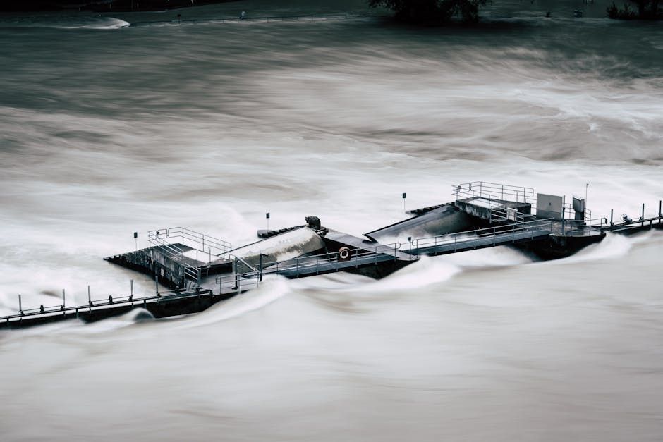
The Ottawa River, which forms the boundary between Ontario and Quebec, is seeing elevated water levels typical of the spring melt season — but this year, communities are keeping a particularly close eye on conditions. Towns and neighbourhoods stretching from Arnprior to Gatineau are tracking the river's rise, mindful of the flooding that has struck the region in recent years.
Both Ontario-side communities like Constance Bay, Cumberland, and parts of Ottawa's west end, and Quebec-side towns like Gatineau and Pontiac have experienced serious flood damage in past spring seasons, particularly in 2017 and 2019. Those events left hundreds of homes damaged and prompted major disaster relief efforts, making residents understandably cautious when water levels begin to tick upward.
What's Driving the Rise
Spring flooding along the Ottawa River is typically driven by a combination of snowmelt upstream and rainfall. The river's watershed spans a massive area, meaning that conditions hundreds of kilometres away — in Northern Ontario and Quebec — directly affect water levels in and around Ottawa. When a heavy snowpack melts quickly, sometimes combined with spring rain, the volume of water flowing into the river can surge rapidly.
The Ottawa River Regulation Planning Board, which coordinates water management across multiple dams and reservoirs in the watershed, plays a key role in managing flows during high-water periods. The board monitors conditions continuously and can adjust releases from upstream reservoirs to help reduce the peak flows reaching communities downstream.
Staying Prepared
For Ottawa residents in flood-prone areas, now is the time to review emergency preparedness plans. The City of Ottawa recommends that residents in at-risk neighbourhoods:
- Sign up for emergency alerts through the city's notification system
- Know their flood risk by checking the city's flood map
- Prepare an emergency kit with essentials like water, food, medications, and important documents
- Consider flood insurance if they don't already have it, as standard home insurance policies typically don't cover overland flooding
Sandbags can be requested through the city during declared emergencies, and community volunteers often mobilize quickly when conditions worsen.
Watching and Waiting
As of now, officials are in monitoring mode rather than emergency response — but the situation is being taken seriously given the region's history. The Ottawa River's water levels are updated regularly on the Ottawa River Regulation Planning Board's website, and local media including CBC Ottawa are providing ongoing coverage as conditions evolve.
Residents in low-lying areas near the river are encouraged not to wait for an official warning before taking precautionary steps. Moving valuables to upper floors, checking sump pumps, and clearing drains of debris are simple steps that can make a real difference if water does begin to encroach.
Spring is a beautiful but sometimes unpredictable season along the Ottawa River — and this year, the region is staying vigilant.
Source: CBC Ottawa via Google News