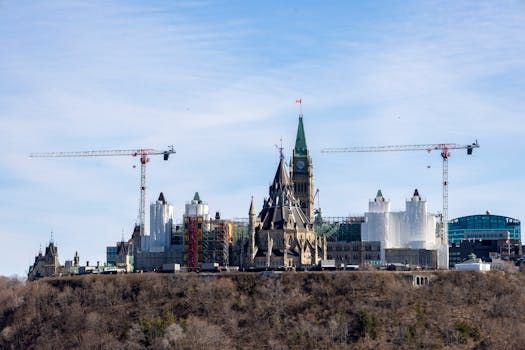
Ottawa River Levels on the Way Down
Ottawa residents along the riverfront are seeing some welcome relief as water levels on the Ottawa River have begun to decline across the Ottawa-Gatineau area, according to CTV News.
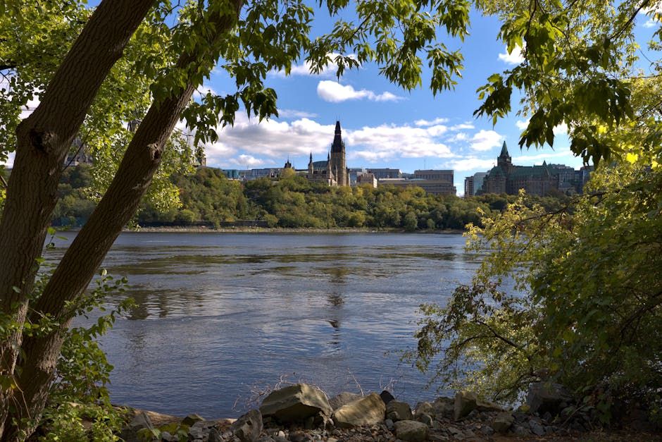
After a period of elevated water — not unusual for this time of year as snowmelt and spring rainfall push regional waterways toward their seasonal peaks — the downward trend is a positive sign for communities on both the Ontario and Quebec sides of the river.
What Higher Spring Water Levels Mean Locally
The Ottawa River is no stranger to spring fluctuations. Each year, the combination of upstream snowmelt from the Laurentian Highlands and wet spring weather pushes river levels higher, sometimes significantly. The Ottawa River Regulation Planning Board monitors flows closely and coordinates water releases from upstream dams to try to manage downstream impacts.
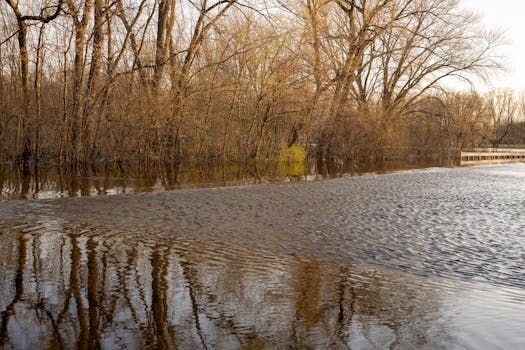
For neighbourhoods like Rockcliffe Park, Westboro, and Britannia on the Ottawa side — and Gatineau's Pointe-Gatineau and Masson-Angers areas — even moderate level changes can affect riverfront trails, docks, and low-lying properties. Parks like Andrew Haydon and Brébeuf are among the first to feel the effects when the river rises.
Why the Decline Is Good News
Declining water levels mean riverside trails can reopen or remain accessible, boat launches become more usable, and the risk of shoreline flooding eases. For the many Ottawa residents who rely on the river for recreation — kayaking, paddleboarding, cycling the NCC paths along the water — the drop signals that the best of the river season may be just around the corner.
It also reduces pressure on riverfront homeowners who face the annual anxiety of watching the water creep toward their properties.
The Bigger Picture
The Ottawa River watershed spans roughly 146,000 square kilometres and drains parts of both Ontario and Quebec. Managing it is a cross-border effort, with the Ottawa River Regulation Planning Board playing a central coordinating role between provincial utilities and federal agencies.
Climate variability has made spring water management increasingly complex in recent years. Some springs bring near-record highs — as Ottawa saw during the devastating floods of 2017 and 2019 — while others are more moderate. Residents and city officials have grown more attuned to seasonal forecasts and monitoring tools as a result.
Keep an Eye on Conditions
If you're planning to get out on or near the river, it's always worth checking the Ottawa River Regulation Planning Board's website for the latest water level data and forecasts. The NCC also updates trail and access conditions regularly on its website as the season progresses.
For now, the news is good — the Ottawa River is on its way down, and the city's beloved waterfront is opening back up for the season.
Source: CTV News Ottawa via Google News