Ottawa River Rises Slightly After Mid-Week Rain
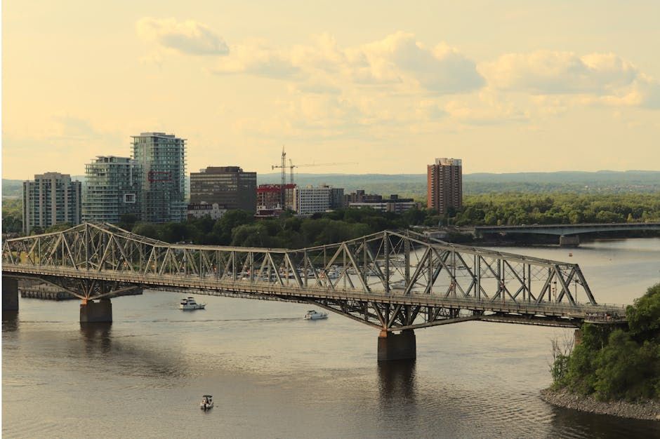
Ottawa residents living near the banks of the Ottawa River are watching water levels with cautious attention after Wednesday's rainfall nudged the river slightly higher, according to a report from CTV News.
While the increase has been described as slight rather than alarming, it's a reminder that spring in the National Capital Region comes with its share of hydrological uncertainty. The Ottawa River — one of Canada's major waterways and the defining natural feature of the city's geography — is notoriously sensitive to precipitation events, particularly in the weeks after snowmelt season.
Why Spring Rain Matters on the Ottawa River
The Ottawa River drains a massive watershed that stretches across Ontario and Quebec, meaning rain that falls far upstream can take days to reach the city. That lag effect is part of what makes river monitoring so important during the spring months — a modest rainfall event can compound with snowmelt or upstream runoff to produce more significant rises than the local weather alone would suggest.
In recent years, Ottawa has experienced a handful of notable flooding events that prompted emergency responses in lower-lying areas of the city, including parts of Constance Bay, Britannia, and communities along the Quebec side of the river like Gatineau. Those events have made residents and municipal officials acutely aware of how quickly conditions can change.
Who's Watching the River
The Ottawa River Regulation Planning Board, along with the province and the City of Ottawa, keeps continuous tabs on river gauges throughout the watershed. When levels begin to climb, alerts are issued and sandbagging resources can be mobilized for communities at risk.
For now, the rise after Wednesday's rain appears to be modest — but meteorologists and flood watchers will be keeping a close eye on any additional rainfall in the forecast, particularly given that the ground may still be saturated from earlier in the season.
What Residents Should Know
If you live in a flood-prone area of Ottawa or nearby municipalities, it's worth checking in with the City of Ottawa's emergency preparedness resources or the Ottawa Riverkeeper for the latest conditions and advisories. Sandbagging services and other supports are typically made available to residents as a precaution during elevated water periods.
For most Ottawans, the slight rise in river levels won't cause any disruption — but it's the kind of seasonal event worth staying informed about, especially with spring weather still very much in play.
Keep an eye on CTV Ottawa and the Ottawa River Regulation Planning Board for ongoing updates as conditions develop.
Source: CTV News Ottawa via Google News RSS