Ottawa residents should have their storm plans ready this Tuesday as a major severe weather system is set to roll through eastern Ontario, bringing the potential for golf ball-sized hail, torrential rain, and wind gusts that could reach 110 km/h.
What to Expect
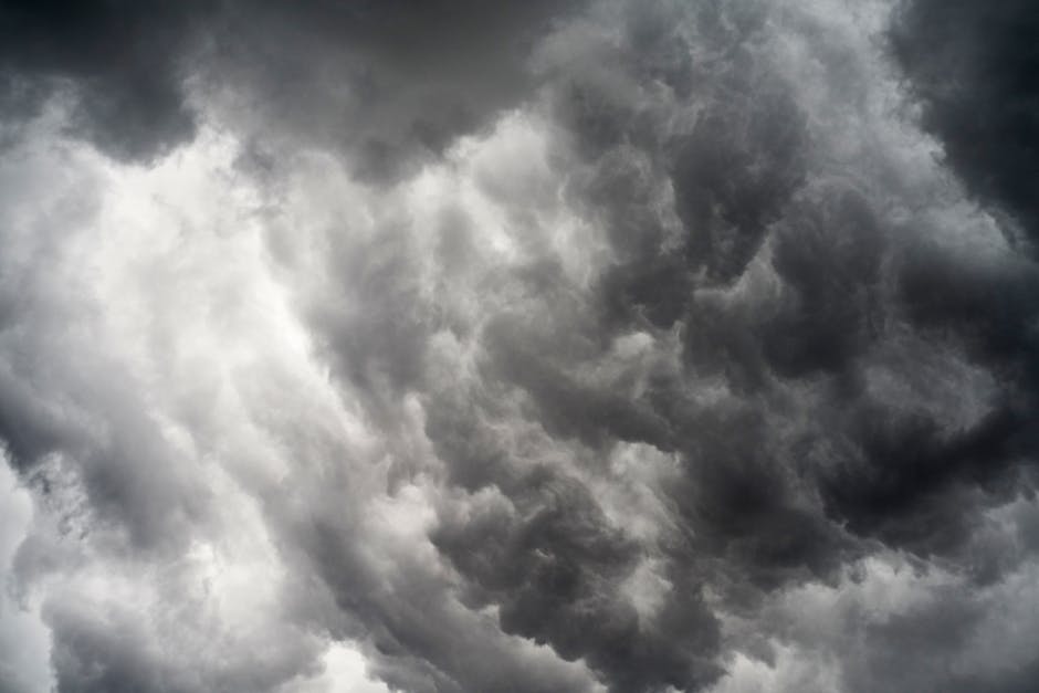
Environment Canada has flagged eastern Ontario — including the Ottawa region — as being in the path of a significant storm system. Forecasters are warning that conditions could deteriorate rapidly, with the most dangerous threats including:
- Hail up to the size of a golf ball, which can cause serious damage to vehicles, roofs, and windows
- Wind gusts up to 110 km/h — strong enough to snap tree branches and knock out power lines
- Heavy rain that could cause localized flooding in low-lying areas
- Possible funnel clouds if conditions become sufficiently unstable
The storms are expected to move through the region during the afternoon and early evening hours Tuesday, though timing can shift as the system develops.
How to Stay Safe
When a severe thunderstorm warning is issued, Environment Canada recommends moving indoors immediately and staying away from windows. Residents should avoid using plumbing or electrical equipment during active lightning. If you're caught outside, seek shelter in a sturdy building — not under a tree.
For drivers, pull over safely and avoid flooded roads. Even a few centimetres of fast-moving water can sweep a vehicle off the road.
Homeowners and renters should take a few minutes before Tuesday to:
- Bring in or tie down patio furniture, planters, and trampolines
- Park vehicles in a garage if possible to protect against hail damage
- Clear eavestroughs and downspouts so heavy rain can drain properly
- Know where your emergency kit is — flashlights, batteries, and a battery-powered radio can be lifesavers during a power outage
Eastern Ontario in the Crosshairs
The Ottawa Valley and surrounding areas have seen an uptick in severe storm activity in recent summers, and forecasters have noted that the region's position between the Great Lakes and the St. Lawrence corridor can funnel powerful storm systems directly over the capital. Ottawa's mix of urban development and river valleys also creates localized wind effects that can amplify gusts in certain neighbourhoods.
Hydro Ottawa crews are typically placed on standby ahead of major storm events to respond quickly to outages. Residents can report outages through the Hydro Ottawa website or app, and can monitor restoration progress on their outage map.
Keep an Eye on the Sky
Severe weather in Ontario can escalate quickly, so it's worth downloading the WeatherCAN app from Environment Canada, which sends alerts directly to your phone when a warning is issued for your area. You can also follow Ottawa's official social media channels for real-time updates from the city.
Tuesday is shaping up to be a day to keep plans flexible, work from home if possible, and keep one eye on the radar. Stay safe out there, Ottawa.
Source: Inside Ottawa Valley via Google News Ottawa Weather RSS feed.