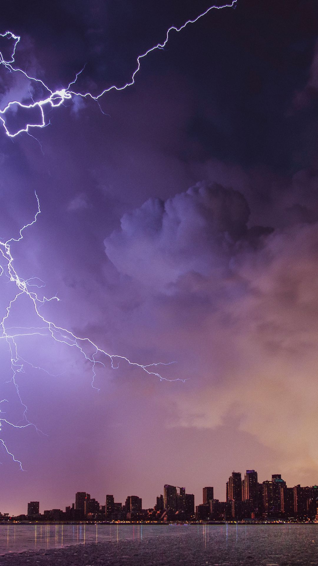
Severe Thunderstorm Watch Issued for Ottawa and the Ottawa Valley
Ottawa residents should brace for a rough afternoon. Environment Canada has issued a severe thunderstorm watch for Ottawa, the Ottawa Valley, and surrounding regions, effective for today, Monday, March 16. The system is expected to arrive mid-afternoon and push through into the evening hours.
What to Expect
This is not a run-of-the-mill spring shower. Forecasters are warning of:
- Heavy rainfall: potentially 30 to 50 mm in a short period, raising localized flooding concerns in low-lying areas
- Dangerous lightning: multiple lightning strikes per minute are possible during the most intense cells
- Strong wind gusts: up to 90 km/h, enough to snap branches, topple patio furniture, and bring down power lines
- Possible hail: small to medium hail stones could accompany the strongest thunderstorm cells
A severe thunderstorm watch means conditions are favourable for severe thunderstorms to develop. If a warning is issued later today, that means a severe storm has actually been spotted in the area, so keep checking the Environment Canada weather app or weather.gc.ca throughout the day.
Spring Storms in Ottawa: Unusual, But Not Unheard Of
March thunderstorms might feel surprising, but meteorologists say they're not unprecedented in the Ottawa region. As the jet stream shifts and warmer air surges north ahead of cold fronts, the atmospheric instability needed to fuel thunderstorms can absolutely set up in mid-March.
That said, today's system is tracking on the more intense end of what's typical for this time of year. The combination of saturated soils from recent snowmelt and warm, moist air pushing up from the south is giving this storm its punch.
What You Should Do Right Now
At home:
- Charge your phone and any backup battery packs now, before the storm hits
- Bring in outdoor furniture, recycling bins, and anything that could become a projectile in high winds
- Move vehicles to covered parking if possible, hail can cause significant body damage
- Know where your flashlights and candles are in case of a power outage
If you're caught outside when the storm hits:
- Get inside a sturdy building immediately, cars count, but avoid parking under trees
- Stay away from tall isolated trees, open fields, hilltops, and bodies of water
- If you're in a forest and can't get inside, crouch low in a clearing away from the tallest trees
- Never shelter under a lone tree. It dramatically increases your lightning strike risk
- Wait at least 30 minutes after the last thunder before going back outside
On the road:
- Reduce speed significantly during heavy rain, hydroplaning is a real risk
- Pull over safely and wait out the worst of it if visibility drops sharply
- Watch for flash flooding across low roadways and underpasses, particularly in the Bayshore, Heron Road, and Riverside Drive areas which have flooded in past heavy rain events
Power Outages Are Possible
With gusts forecast at 90 km/h, Hydro Ottawa is likely to see downed lines and outages across the service area. Report outages at hydro.ottawa.com or by calling 613-738-6400. Stay well clear of any downed power lines, treat every line as live.
City Contacts and Emergency Info
For non-emergency storm-related city issues, flooding on a road, a downed tree blocking a sidewalk, a storm drain backup, call 311 or visit ottawa.ca/311.
For weather emergencies, Ottawa Paramedic Service can be reached at 911. Ottawa Emergency Management monitors major weather events in real time; follow @OttawaOEM on X for updates.
Environment Canada's severe weather alerts update throughout the day. Download the WeatherCAN app or bookmark weather.gc.ca to stay current. Stay safe out there, Ottawa.