Ottawa is no stranger to summer storms, but this week's weather has been something else entirely.
The capital was hammered by a record-breaking downpour earlier this week, and forecasters are warning that the city isn't out of the woods yet — another thunderstorm could be rolling in as early as Thursday.
What Happened?
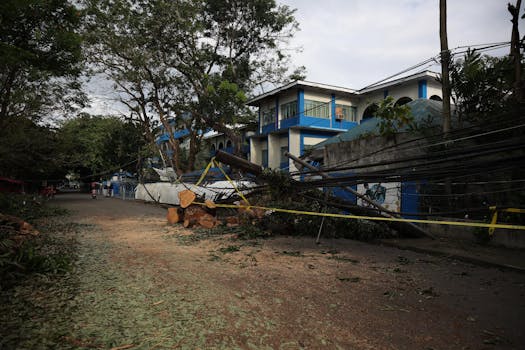
Ottawa received an exceptional amount of rainfall in a short period, breaking records for daily precipitation. The sudden deluge caught many residents off guard, flooding streets, overwhelming storm drains, and causing localized disruptions across the city.
For a city that sees its fair share of summer convective storms, this one stood out. Environment Canada confirmed the rainfall totals were historically significant for the region.
What to Expect Thursday
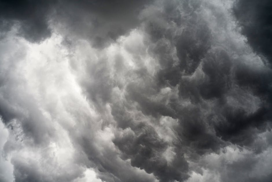
Meteorologists are tracking another system that could bring thunderstorm activity to the Ottawa area Thursday. While not every storm carries the same punch, forecasters are urging residents to keep an eye on updated warnings and watches as conditions develop throughout the day.
Thunderstorms in the Ottawa Valley can intensify quickly due to the region's geography and summer heat. Heavy rain, strong winds, and lightning remain the primary concerns.
How to Stay Safe
If you're heading out Thursday, here's what to keep in mind:
- Check Environment Canada's weather alerts before leaving home — warnings can be issued with short notice
- Avoid low-lying roads and underpasses that are prone to flash flooding
- Stay indoors during active lightning — the Ottawa area has seen dangerous strikes in summer storms before
- Move cars away from trees if possible, as strong winds can bring down branches
- Charge your devices so you have access to alerts and updates even during a power outage
Ottawa's Summer Storm Season
July is historically one of Ottawa's most storm-active months. The combination of heat, humidity, and cold fronts moving through the region creates ideal conditions for thunderstorm development. Ottawans know the drill: blue skies in the morning can turn into dramatic afternoon storms faster than you can pack up a picnic at Mooney's Bay.
The recent record-breaking rainfall serves as a reminder that climate patterns are shifting — storms are becoming more intense, even if not necessarily more frequent.
Stay Updated
For real-time alerts, Ottawa residents can check Environment Canada's weather page or download the WeatherCAN app. The City of Ottawa also posts service updates and road closures on its social channels when storms cause disruptions.
In the meantime, maybe hold off on those Thursday patio plans — at least until the forecast clears up.
Source: CTV News Ottawa via Google News