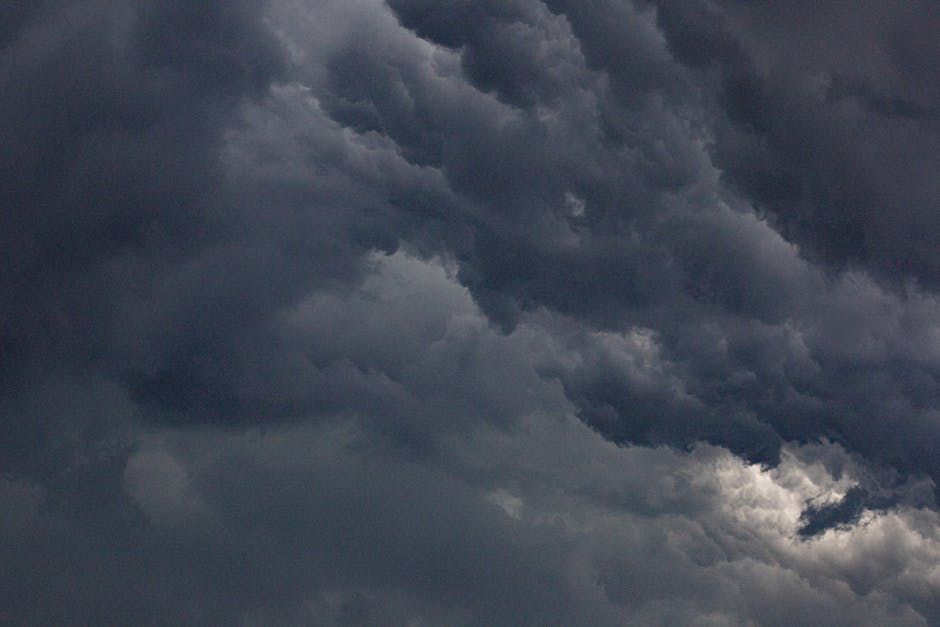
Ottawa and the communities stretching west of the city are bracing for a potentially severe weather day Tuesday, with meteorologists warning of tornado risk and strong thunderstorm activity in the region.
According to CBC, forecasters have flagged areas west of Ottawa as being at risk for tornadic activity alongside powerful thunderstorms — the kind of weather system that demands attention and preparation from residents across the Ottawa Valley.
What to Expect
Strong thunderstorms can bring a combination of hazards including heavy rain, large hail, damaging wind gusts, and reduced visibility. When tornado watches are in effect, residents are urged to monitor conditions closely and have a plan ready in case warnings are issued.
The Ottawa region has seen severe summer storm events in recent years, most notably the devastating derecho of May 2022 that knocked out power for hundreds of thousands of homes across the city and surrounding communities. While Tuesday's forecast isn't necessarily on that scale, the presence of tornado risk means the situation warrants serious attention.
Stay Prepared
Environment Canada recommends residents in and around Ottawa take the following steps when severe weather is in the forecast:
- Monitor alerts: Sign up for Weatheradio Canada notifications or check the Environment Canada website and app for the latest watches and warnings.
- Know your safe spot: In the event of a tornado warning, move immediately to the lowest level of a sturdy building, away from windows — an interior room or hallway is ideal.
- Secure outdoor items: Patio furniture, planters, and other loose objects can become dangerous projectiles in high winds.
- Charge your devices: Keep your phone charged and consider having a battery-powered radio on hand in case of power outages.
- Avoid driving into storms: If you're on the road, never try to outrun a tornado in a vehicle. Seek shelter in a sturdy structure immediately.
Communities West of Ottawa Most at Risk
The warning specifically highlights areas to the west of Ottawa, which can include communities along the Highway 17 and Highway 60 corridors — places like Arnprior, Renfrew, and the broader Ottawa Valley. However, given how quickly severe weather can move and shift, residents throughout the National Capital Region should stay weather-aware throughout the day Tuesday.
School boards, outdoor event organizers, and anyone with afternoon plans outdoors should keep a close watch on updated forecasts as conditions develop through the morning and into the afternoon.
When to Act
There's an important distinction to know: a watch means conditions are favourable for severe weather to develop, while a warning means it is imminent or already occurring. If a tornado warning is issued for your area, treat it as an emergency and seek shelter immediately — do not wait to see the funnel cloud.
Tuesday's severe weather risk is a reminder that late spring in the Ottawa region can bring dramatic and fast-moving storm systems. Stay informed, have a plan, and don't take chances with severe weather.
Source: CBC News Ottawa