Ottawa and the surrounding region are on alert Tuesday after Environment Canada flagged a significant risk of severe thunderstorms — including the possibility of a tornado — for communities west of the capital.
The warning, first reported by CBC Ottawa, puts areas stretching through Renfrew County, Lanark County, and communities like Arnprior, Carleton Place, and Almonte under the most significant threat. Residents in Ottawa's western suburbs and Kanata are also being asked to monitor conditions closely throughout the day.
What to Expect
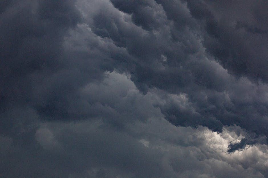
Forecasters are warning of a volatile atmospheric setup that could fuel organized thunderstorm activity as the afternoon heats up. The main hazards associated with these storms include:
- Damaging wind gusts potentially exceeding 90 km/h
- Large hail that could damage vehicles and property
- Heavy rainfall leading to localized flooding
- A tornado risk — not guaranteed, but conditions are favourable for rotation
Tornados are relatively rare in the Ottawa Valley, but not unheard of. The region sits within a corridor that has seen historical tornado activity, and late spring and early summer are peak season for severe convective storms in Ontario and Quebec.
When Will the Storms Hit?
The main storm window is expected Tuesday afternoon through the early evening, as daytime heating combines with an incoming cold front pushing from the west. Environment Canada typically issues tornado watches or warnings with very little lead time — sometimes less than 30 minutes — so it's important not to wait for a formal warning before taking precautions.
Ottawa residents should check the Environment Canada weather app or website frequently throughout the day and keep alerts turned on for their mobile devices.
How to Stay Safe
Here's what emergency preparedness officials recommend if a tornado warning is issued in your area:
- Go inside immediately — a car, tent, or mobile home offers no protection
- Head to the lowest level of a sturdy building and stay away from windows
- Avoid seeking shelter under highway overpasses — this is a dangerous and common misconception
- If caught outdoors, lie flat in a low-lying ditch and cover your head
- Have a go-bag ready with essentials if you need to evacuate quickly
For Ottawa commuters, be aware that severe weather can cause rapid deterioration in driving conditions. Pull off the road safely if visibility drops sharply or if you hear a tornado siren.
Keep an Eye on Western Ottawa
Communities along the Ottawa River valley — including Constance Bay, Fitzroy Harbour, and Carp — have experienced damaging storm events in past years. Residents in these areas should be especially vigilant and have a clear plan for shelter.
Ottawa's emergency services and Hydro Ottawa typically pre-position crews ahead of major storm systems to respond quickly to outages and infrastructure damage. Power outages are likely if the more severe thunderstorm scenarios materialize.
Check Environment Canada's weather alerts page and follow CBC Ottawa for live updates as the storm system develops throughout Tuesday.
Source: CBC Ottawa via Google News Ottawa Weather RSS feed.