Stormy Weather Ahead for Ottawa
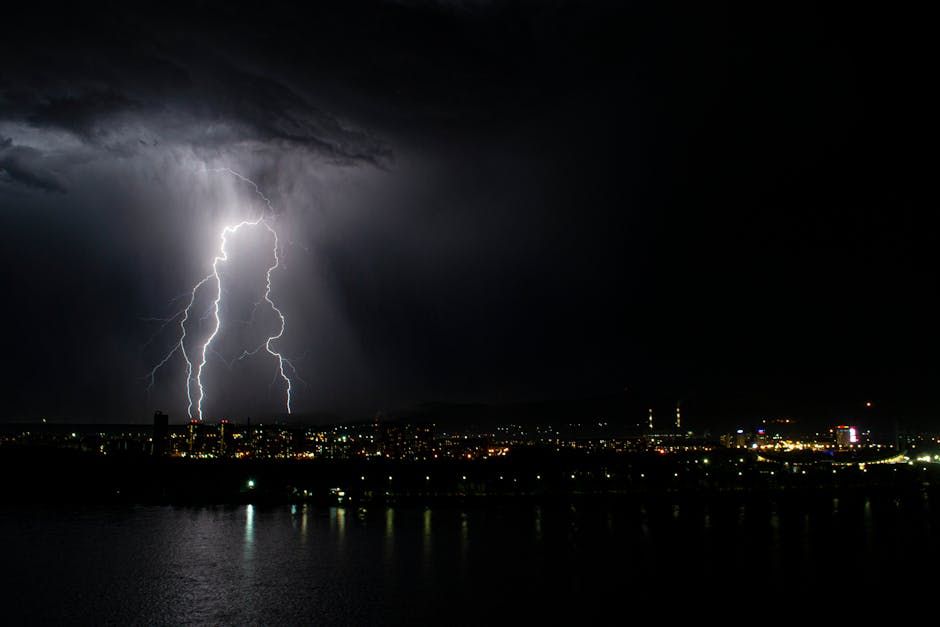
Ottawa is bracing for a round of thunderstorms that could bring anywhere from 10 to 20 millimetres of rain to the region, according to a report from CityNews Ottawa. The unsettled weather pattern is expected to push through the capital, bringing with it the kind of heavy downpours, lightning, and gusty winds that can make for a rough commute and soggy afternoon plans.
While spring showers are nothing new for Ottawa — the city's weather can swing dramatically this time of year — thunderstorms packing this much rainfall in a short window can cause localized flooding, particularly in low-lying neighbourhoods and areas with older storm drain infrastructure.
What to Expect
The bulk of the rainfall is forecast to fall in bursts rather than as a steady drizzle, meaning short but intense periods of heavy rain are likely. During peak downpours, visibility on roads can drop quickly, and streets in areas like Lowertown, Vanier, and parts of the Glebe that are prone to pooling water may see some surface flooding.
Thunder and lightning are also in the forecast, so anyone planning to spend time outdoors — whether at a park, on a patio, or cycling along the Rideau River pathway — should keep a close eye on the sky and have an indoor backup plan ready.
Tips for Getting Through It
Here are a few practical things to keep in mind as the storms move through:
- Commuters: Give yourself extra time if you're driving, and watch for standing water on roads. Even shallow puddles can hide potholes deepened by spring freeze-thaw cycles.
- Cyclists and pedestrians: Check the radar before heading out. Apps like Weather Network or Weather.gc.ca give a good hour-by-hour picture of when the heaviest bands are moving through.
- Homeowners: If your basement has a history of water intrusion, it's worth doing a quick check of your window wells and sump pump before the rain hits.
- OC Transpo riders: Shelters at major stops offer some cover, but be prepared for delays if severe weather slows surface routes.
Spring Storms Are Part of Ottawa Life
April and May are typically Ottawa's stormiest months, as warm air pushing up from the south collides with the cooler air masses that still linger over the region. The Ottawa Valley's geography — flanked by the Gatineau Hills to the north and the St. Lawrence lowlands to the south — can funnel and intensify storms that might otherwise pass more quietly over flat terrain.
The silver side of all this rain? The Rideau Canal Skateway grounds, Gatineau Park trails, and city green spaces will be soaking it up ahead of what's shaping up to be a busy spring season for outdoor events and activities.
Keep an eye on Environment Canada's weather alerts for the Ottawa-Gatineau region for the most up-to-date timing and intensity forecasts as the system moves in.
Source: CityNews Ottawa via Google News