A rare cloud, born from fire
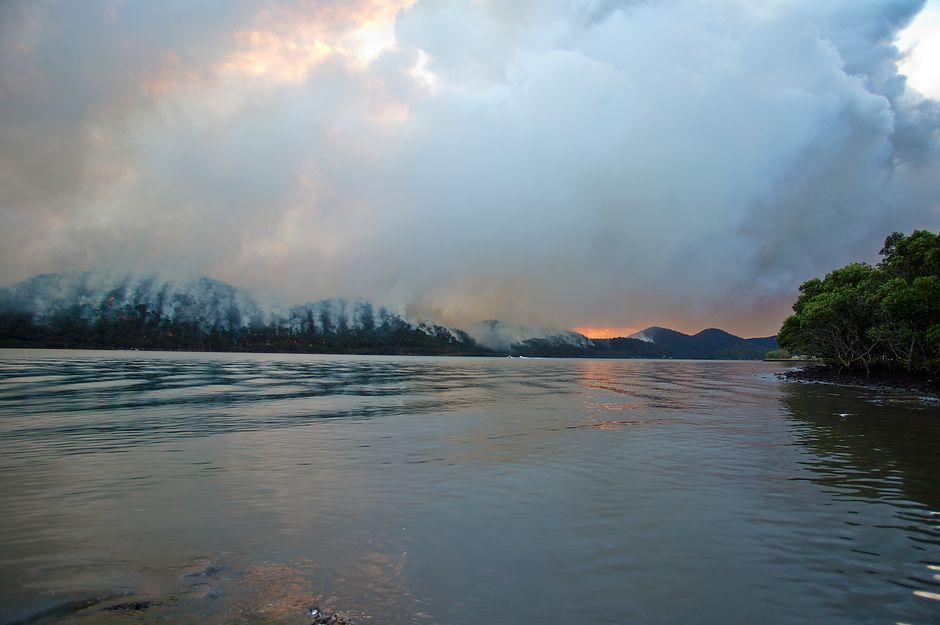
A huge wildfire burning in southwest France has done something the country has never recorded before: it generated a pyrocumulonimbus cloud, a towering, storm-like formation that forms directly above an intense fire. While this is a first for France, it's a familiar sight across Canada, which sees more of these fire-driven storms than almost anywhere else on Earth.
How a fire makes its own storm
Pyrocumulonimbus clouds, sometimes nicknamed "fire clouds" or "pyroCbs", form when a wildfire burns hot enough to send a massive plume of heat, smoke, and moisture rushing upward into the atmosphere. As that superheated air rises and cools, water vapour condenses into towering cumulus-style clouds, essentially building a thunderstorm engine powered entirely by the fire below rather than typical weather systems.
Once a pyroCb matures, it can behave like any other severe thunderstorm, producing lightning, strong winds, and even its own weather. The difference is that this storm is directly tied to, and can dramatically worsen, the blaze that created it.
Why they make wildfires worse
The lightning generated inside a pyrocumulonimbus cloud can spark new fires far from the original blaze, while the erratic winds swirling around the cloud can fan flames unpredictably and push fire growth in new directions. Perhaps most strikingly, these storms can loft smoke, ash, and even unburned embers up to 15 kilometres into the stratosphere, far higher than smoke from an ordinary fire would travel. From there, that smoke can drift for thousands of kilometres, affecting air quality in regions nowhere near the original fire.
Canada's frequent, and record-setting, fire clouds
Canada has become one of the most active regions in the world for pyroCb activity, a byproduct of its vast boreal forests, increasingly intense wildfire seasons, and hot, dry summer conditions that create ideal fuel for extreme fire behavior. Researchers have tracked numerous pyrocumulonimbus events across Canadian wildfire zones in recent years, particularly during major fire seasons in British Columbia and other western provinces, where smoke plumes from these storms have been detected reaching the stratosphere and circling the globe.
That track record is part of why scientists monitoring the French wildfire immediately recognized what they were seeing, the phenomenon may be new to France, but it's a well-documented feature of Canadian fire seasons.
Why this matters beyond the fire line
For Canadians, pyroCbs aren't just a scientific curiosity. They're a factor in how wildfire smoke spreads across the country and beyond, often affecting air quality in cities far from the flames themselves. As wildfire seasons grow longer and more intense across the country, understanding how these storms form, and how they can supercharge a fire's spread, is becoming an increasingly important piece of Canada's wildfire preparedness and forecasting efforts.
As the France wildfire continues to burn, scientists say the event offers a stark reminder that extreme fire behavior once considered rare is becoming more common as fires grow larger and burn hotter around the world, a trend Canada has been living with for years.
Source: CBC News