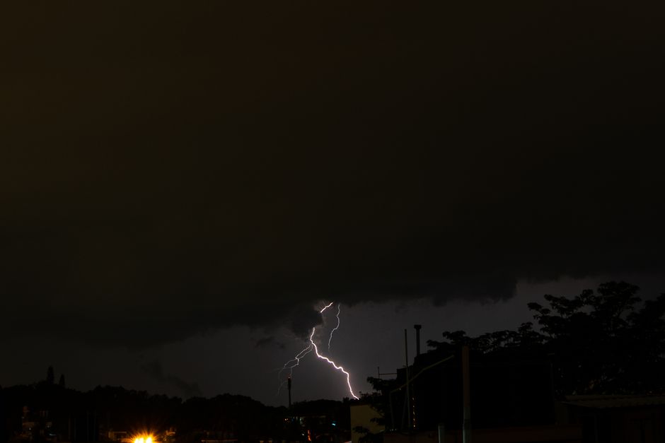
Ottawa residents' phones lit up with an unmistakable buzz and blaring alarm around 4:10 p.m. on Tuesday, as Environment Canada issued a tornado warning covering a huge swath of eastern Ontario. The warning zone stretched from Arnprior in the west to Hawkesbury in the east, encompassing all of Ottawa and putting more than one million people on alert at once.
For many in the capital, it was a rare and unsettling experience, the kind of emergency alert usually reserved for Amber Alerts or extreme weather events elsewhere. But meteorologists say the broad reach of the warning wasn't overkill. It was the system working as intended.
Why the Warning Covered So Much Ground
Tornado warnings are inherently tricky to pinpoint. Unlike a hurricane, which can be tracked for days, tornadoes can form and touch down with very little notice, and the exact path of a rotating storm cell can shift quickly. Experts explain that when there's radar-confirmed rotation or a credible report of a funnel cloud, authorities err on the side of covering a wider area rather than risk leaving people out of the alert zone.
That means a warning issued for storms tracking near Hawkesbury can still reach Ottawa residents dozens of kilometres away, even if the funnel cloud itself never gets close to the city. It's a deliberate trade-off: a few unnecessary alerts are considered far preferable to missing the one that matters.
The Ottawa Angle
For Ottawa families, the warning meant an anxious afternoon of checking basements, gathering kids from backyards, and glancing nervously at darkening skies over neighbourhoods like Barrhaven, Orleans, and the Glebe. Local emergency management officials used the moment to remind residents of the basics: get to the lowest level of a sturdy building, away from windows, and avoid vehicles and mobile homes if a warning is active.
Ottawa's location in the Ottawa Valley, sandwiched between the Ottawa River and rolling farmland to the west, does put the region in a corridor that occasionally sees severe thunderstorm activity capable of spinning up tornadoes, as residents will recall from the destructive September 2018 tornadoes that tore through Dunrobin and Gatineau.
What Experts Want You to Remember
Meteorologists interviewed following Tuesday's alert stressed that a tornado warning is not a guarantee a twister will touch down in your exact location. It's a call to be ready in case it does. Ignoring warnings because a past one didn't pan out locally is exactly the kind of complacency that can turn dangerous when a real tornado does strike.
So while some Ottawa residents may have felt Tuesday's scare was a false alarm once the skies cleared without major damage reported in the immediate area, experts say that's the system succeeding, not failing. Better a startled afternoon checking the basement than being caught off guard.
Residents are encouraged to keep weather apps and emergency alerts enabled on their phones heading into the rest of the summer storm season, as eastern Ontario remains susceptible to sudden, severe weather.
Source: CBC Ottawa