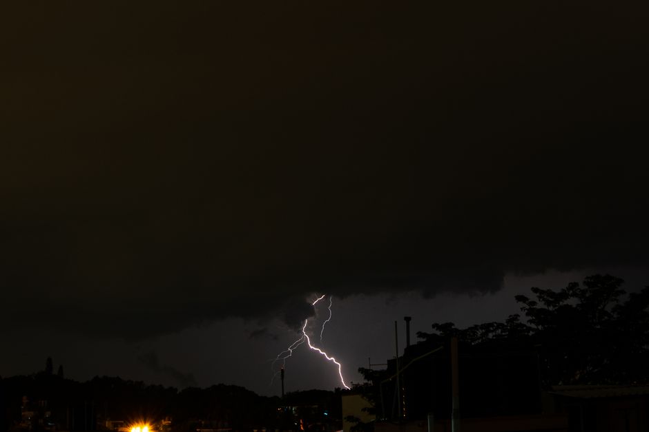
Ottawa found itself under a brief tornado warning this week as a powerful line of thunderstorms swept across eastern Ontario, prompting Environment Canada to issue urgent alerts before quickly lifting them once the most dangerous cells moved through.
What Happened
The warnings came as a fast-developing storm system pushed through the region, bringing the kind of rotating cloud structures and intense wind shear that forecasters watch closely for tornado potential. Environment Canada meteorologists tracked the storm's movement in real time, issuing the warning for the Ottawa area out of caution as the cell showed signs capable of producing a tornado.
Within a relatively short window, the warning was downgraded and then cancelled as the storm weakened or shifted track, sparing the city from the worst-case scenario. Still, for the duration of the alert, residents across Ottawa received emergency notifications urging them to seek shelter immediately, away from windows, in a basement or interior room.
Why It Mattered Locally
Even a short-lived tornado warning is enough to rattle a city, especially one still mindful of the destructive tornadoes that tore through the Ottawa-Gatineau area in September 2018, damaging homes and knocking out power for tens of thousands. That event left a lasting impression on how seriously the region takes severe weather alerts, and this week's warning was a reminder of how quickly conditions can escalate during Ontario's summer storm season.
Local emergency officials and Ottawa Fire Services typically use these windows to monitor for reports of damage, downed trees, or power outages, even when a confirmed tornado touchdown doesn't materialize. Hydro Ottawa also keeps close tabs on outage reports during these systems, since straight-line winds from severe thunderstorms can cause just as much damage to trees and power lines as a weak tornado.
What Residents Should Know
Environment Canada notes that eastern Ontario, including the Ottawa Valley, sits in a corridor that sees a handful of tornado warnings most summers, usually tied to intense heat and humidity colliding with a cold front. Meteorologists encourage residents to have a severe weather plan in place: know where the safest room in your home is, keep a phone charged for alerts, and avoid driving through areas with active warnings.
While this particular warning passed without major reported damage, it underscores the importance of the Alert Ready system, which pushes emergency alerts directly to cellphones across the region. Ottawa residents who felt their phones buzz with the warning were getting exactly the kind of early notice the system is designed to provide.
As summer continues, more unstable weather patterns are expected to move through the Ottawa area, and Environment Canada is urging residents to stay weather-aware, particularly during afternoon and evening hours when thunderstorm activity tends to peak.
Source: CTV News